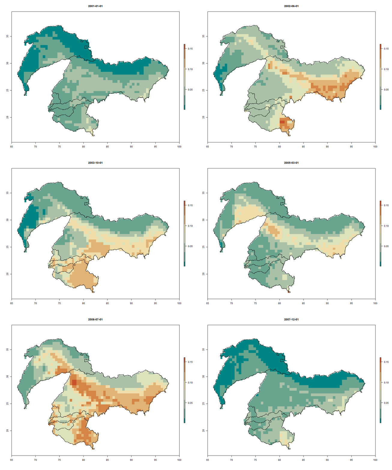
Integration of remote sensing data on precipitaiton, evapotranspiration and leaf area index into the distributed global hydrological model PCR-GLOBWB
Using the Indus, Ganges, Brahmaputra, Mahi, Narmada, Tapi and Godavari River basins as an example, the present study examines the extent to which the remote sensing hydrological information can help improve the hydrological modelling.
Authors: C. Deval, (2016).
Institution: Utrecht University
DOI: https://dspace.library.uu.nl/